Tasmanian wilds
I woke up to a cold morning with chickens wandering around the camp site, quickly said goodbye to my neighbor and drove north through some back roads (glad I had an SUV) where I saw no other vehicles, before passing through a series of small coastal towns where I was able to refuel and get snacks. A couple of museums and attractions are worth stopping at for a quick break before reaching Freycinet National Park by Coles Bay. Realizing the magnitude of the park, I opted for a quick hike, where I passed by a family on vacation. They ended up following me all the way along the East Coast Whale Trail to Bay of Fires, seemingly stopping at all the same spots as me along the way. Bay of Fires turned out to be a long stretch of conservation area with numerous camping sites, but I wasn’t familiar with the reservation systems. Luckily, I found a nice couple that had an extra spot for a vehicle, so we huddled together, shared travel stories and fended off some wild invasive animals that plague Australia.
Tip:
It’s important to have an offline map downloaded ahead of time regardless where you go, but it’s especially important if you’re going somewhere without cellular reception. My favorite is maps.me which combines crowd sourced, GIS and data vendor maps together. GPS does not require data because it uses satellite coordinates, so as long as you have a map, you will always know where you are, and which existing roads can be taken to get to a nearby population center.
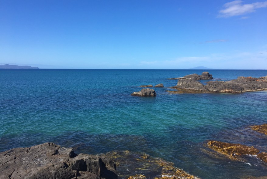
Along the East Coast Whale Trail, Tasmania
Top Posts


1 Comment »